

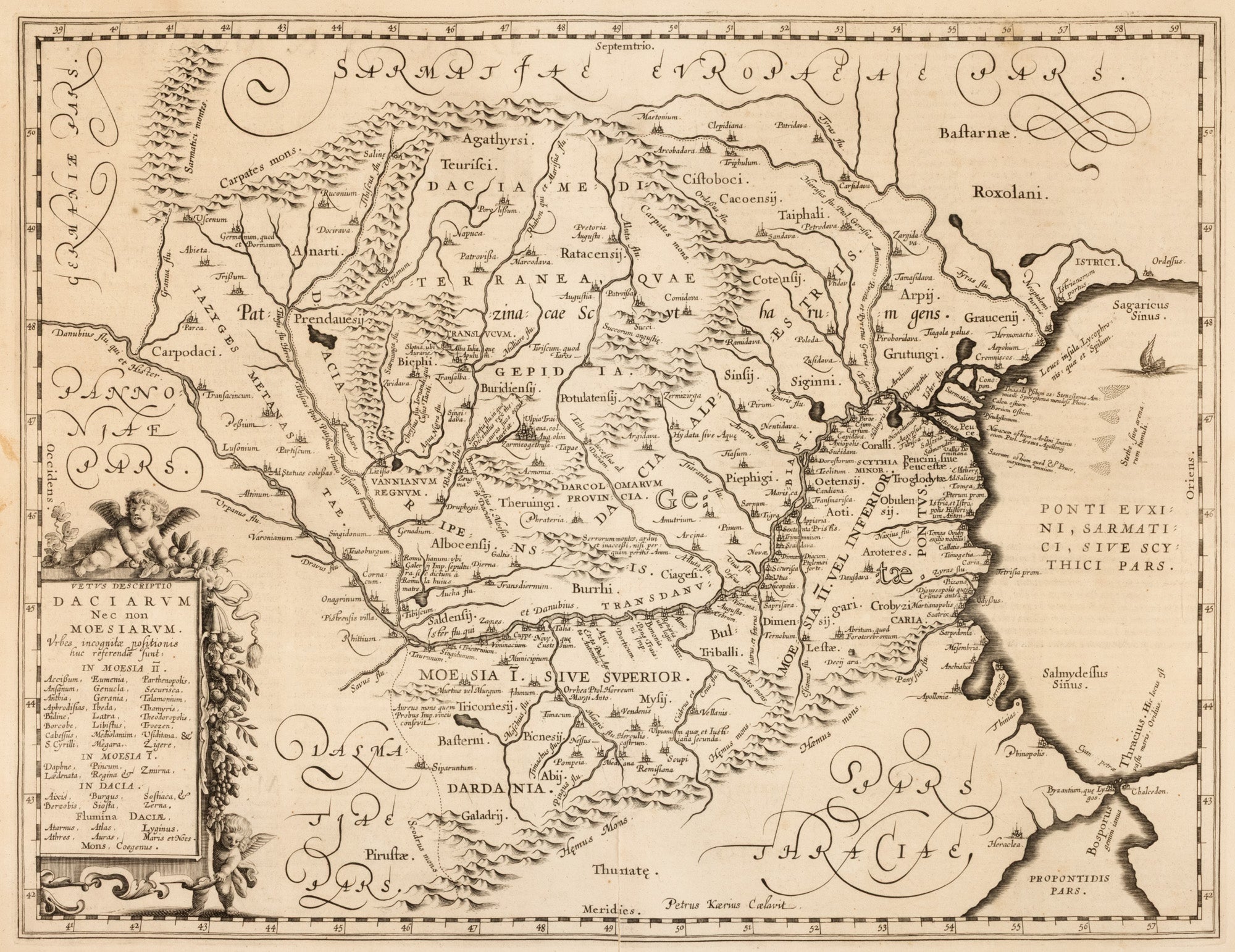
Map "Dacia and Moesia," by Jan Janssonius, Amsterdam, approx. 1650
copper engraving, laid paper
44 x 55 cm
DETAILS
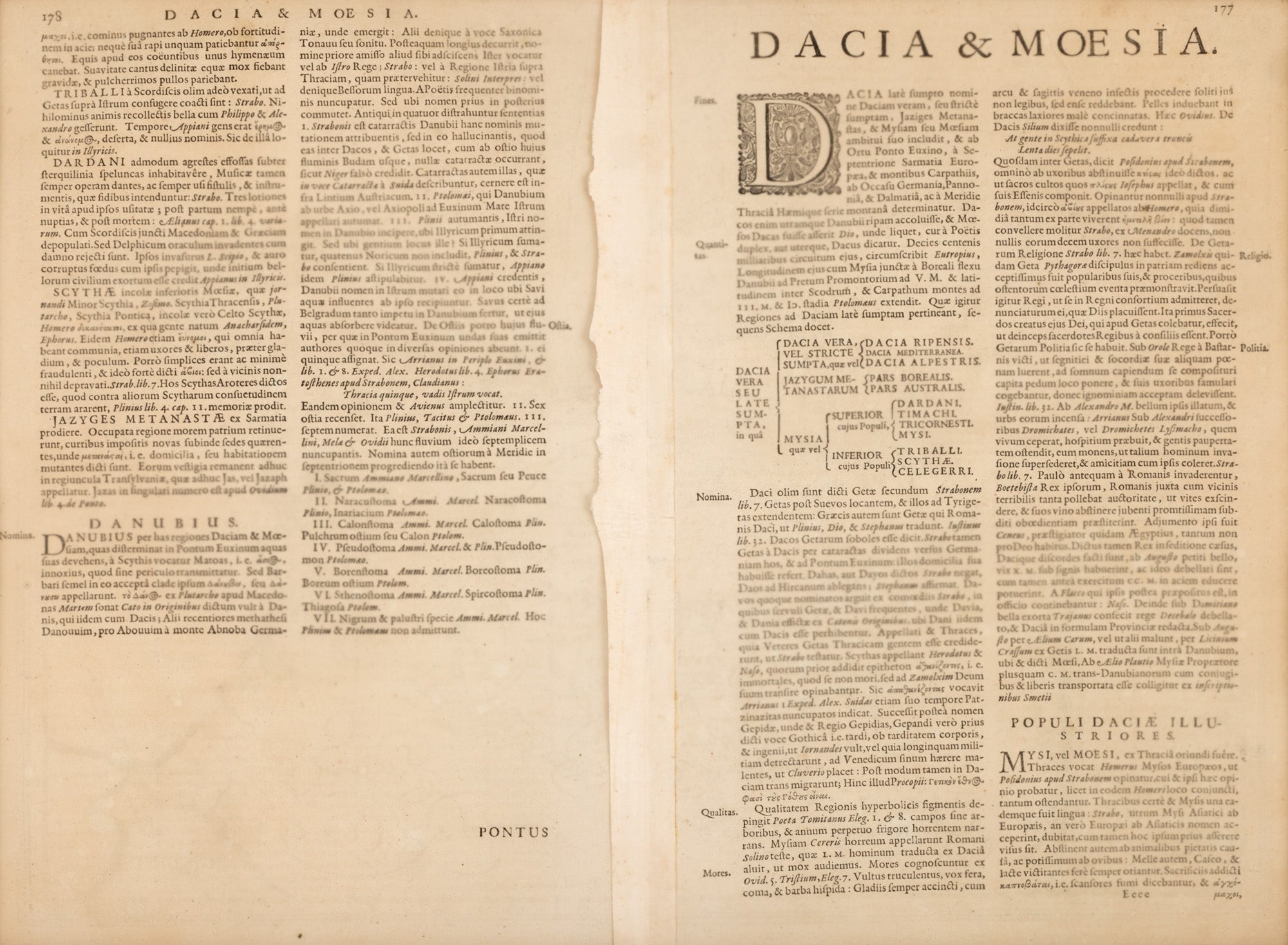
Map of Dacia and Moesia, Roman provinces north and south of the Danube, created by Petrus Kaerius (Pieter van den Keere) and published by Johannes Janssonius in Amsterdam around 1652. Based on classical sources such as Ptolemy and influenced by Ortelius' work, the map includes a decorative cartouche in the lower left corner. On the verso, an explanatory text in Latin is printed. The copy is part of an edition published in the mid-18th century.
Choose options
Map "Dacia and Moesia," by Jan Janssonius, Amsterdam, approx. 1650
Sale price1.000,00 lei